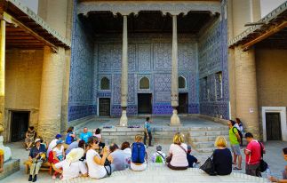
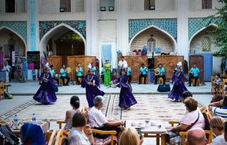
Arara offers a great chance to plunge into the Asian fairy tale! With our tours to Central Asia, you will feel the atmosphere of the Silk Road, admire the architectural gems, bargain at kinetic bazaars and even live in exotic yurts. Our highlight is our Silk Road Tour which is a great combination of Central Asian motifs and Caucasus charm. Arara will be your reliable guide to the life-enriching Asian journey.
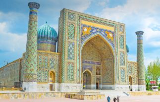
Central Asia is a region of blue-domed mosques, lively bazaars, snow-capped mountains and aromatic spices. It is a less discovered but worthy destination for travelers seeking spectacularly under-the-radar off-path corners in the world. Our thought-out tour packages to Central Asia will let you fully experience all the colorings of this amazing region, namely Uzbekistan, Kazakhstan, Kyrgyzstan, Turkmenistan, and Tajikistan. If you have special preferences and wishes for the trip then click on “Create your own tour” button and make an individual request.